
This is what Dupont Street used to look like before it was cool
Dupont is one of those streets that's been more important to Toronto's development than it's generally given credit for. Referred to as both Van Horne and Royce before the street was straightened and unified, its proximity to the CPR tracks made it an important industrial manufacturing corridor.
Whether it be the Ford Model T factory and showroom at Christie, the Evening Telegram building across the street, the Hamilton Gear plant at Dovercourt, or the abandoned Mono Lino Typesetting building near Howland, Dupont was a place were stuff was made.
Evidence of Dupont's industrial past is still easy to spot if you take the time to walk across the roughly six kilometres it stretches from Avenue Road in the east to Dundas/Annette in the west.
But Dupont is definitely changing. Now home to art galleries, streetwear shops and plenty of restaurants, it'll also soon welcome mega-developments, a huge new park and numerous condos.
Here's a visual history of Dupont Street from the early 1900s to 1974.
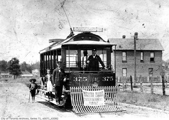
Dovercourt just north of Dupont, 1904

Interior of the Ford Model T showroom at Christie and Dupont, 1910s

Dupont and Olser looking east, 1914

Dupont and Spadina, 1922
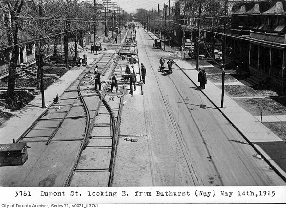
Dupont looking east of Bathurst, 1925
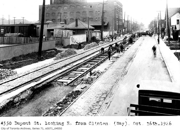
Dupont looking east toward Christie, 1926 (the photograph is mislabeled).
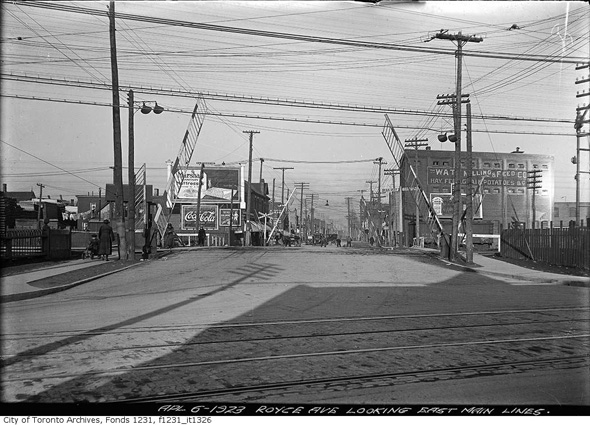
Royce (Dupont) and Dundas, 1923 (pre-underpass)

Royce (Dupont) and Dundas, 1929 (brand new underpass)
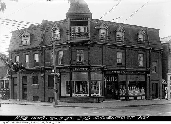
Davenport and Dupont, 1930
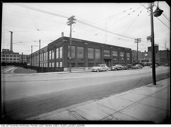
The Evening Telegram, 1940s (the site is now home to Loblaws)
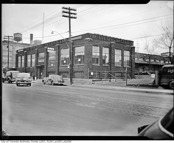
Evening Telegram, 1940s (ominously with a Weston truck parked out front)

Sign of the Steer Restaurant at Dupont and Davenport, 1955

Hamilton Gear at Dupont and Dovercourt, 1957
Dupont and Davenport, 1957
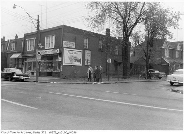
Dupont and Perth, 1958

Dupont near Manning, 1960s (that's a skating rink in there, and it's now a private racquet club)
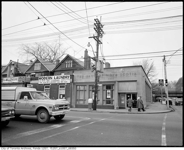
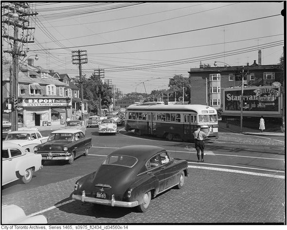
Dupont and Spadina, 1974
Toronto Archives. With files from Derek Flack.
Latest Videos
Latest Videos
Join the conversation Load comments


